Location
Location
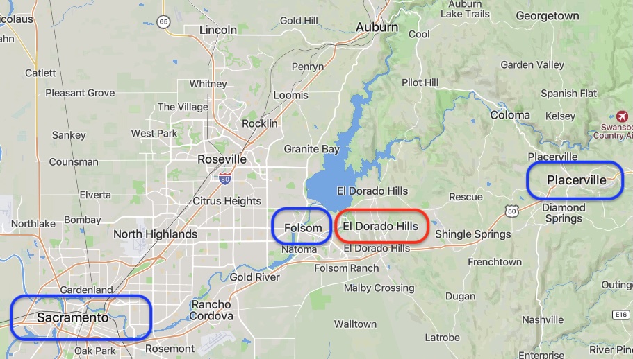
El Dorado Hills is an unincorporated community and census-designated place (CDP) in El Dorado County, California, located about 30 miles east of Sacramento and 20 miles west of Placerville, on the western slopes of the Sierra Nevada.
The boundaries of El Dorado Hills are defined as the region recognized by the United States Census Bureau, covering a land area of about 48.5 square miles (125.5 km²), as documented in the 2010 census and unchanged in 2020. (The land area was listed as approximately 17.9 square miles (46 km²) in the 2000 census.)
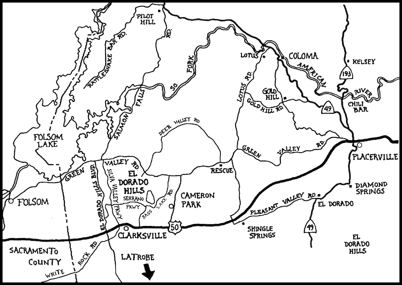
The community's western boundary is the Sacramento County line, and the area borders Folsom Lake and the South Fork of the American River to the north. The CDP is bordered by the City of Folsom to the west and the unincorporated community of Cameron Park to the east.
El Dorado Hills was founded and continues to grow as a master-planned community, with multiple residential “villages,” business parks, shopping centers, parks, and schools, while maintaining open space and recreational areas. The region is served by several local agencies, including the El Dorado Hills Community Services District (CSD) and the El Dorado Hills County Water District.
The community is known for its scenic views, affluent neighborhoods, and vibrant local economy, making it one of the most desirable places to live in the Greater Sacramento region.